
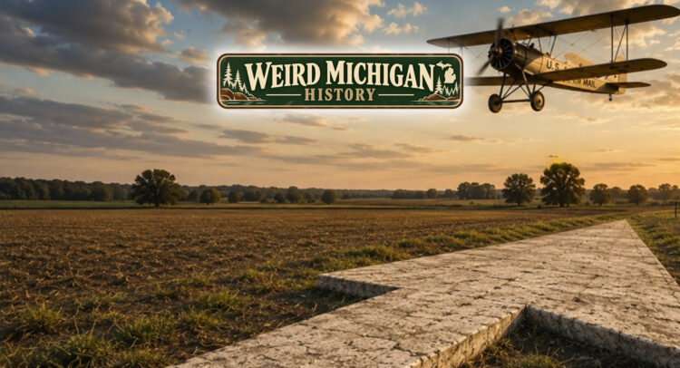
Today, getting lost is almost optional.
If you miss a turn, your phone calmly tells you where to go next.
But imagine flying across Michigan nearly 100 years ago.
No GPS.
No radar.
No moving maps.
Not even reliable radio navigation.
So how did pilots carrying the nation’s mail find their way?
They followed giant concrete arrows built right into the ground.
In the 1920s, air travel was still in its infancy. Commercial aviation barely existed, but the U.S. Post Office was rapidly expanding its airmail network. Delivering mail by airplane was much faster than trains, but it came with a major problem.
Pilots often flew by sight.
Clouds, darkness, or unfamiliar terrain could quickly turn a routine flight into a dangerous one.
The solution was surprisingly simple.
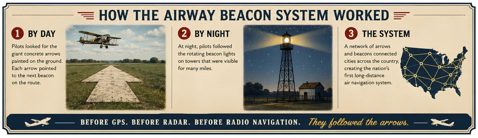
Across the country, the federal government constructed a network of enormous concrete arrows, each about 70 feet long. Beside many of them stood a steel tower topped with a rotating beacon that could be seen for miles at night.
During the day, pilots followed the arrows.
At night, they followed the lights.
The Weird Part
Michigan became part of this remarkable navigation system.
Along early airmail routes connecting Detroit with Chicago and Cleveland, giant arrows and beacon towers guided pilots safely across the state.
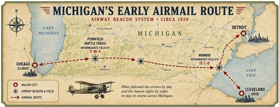
One documented site stood near Monroe, where a concrete arrow marked “10 C-D” pointed the way toward Detroit.
Another was located near Pennfield, east of Battle Creek, serving the Michigan Airway.
For a brief time, these giant arrows were as important to pilots as interstate highways are to drivers today.
Where Did They Go?
Unlike many western states, where concrete arrows can still be found in deserts and open plains, Michigan’s have almost completely disappeared.
Nearly a century of farming, development, road construction, and changing landscapes erased most traces of this forgotten navigation system.
Today, most people have no idea they ever existed.
Yet for thousands of early pilots, those arrows were the difference between reaching their destination… or getting hopelessly lost.
Michigan Tie-In
Michigan played an important role in America’s early aviation network.
Long before satellites guided airplanes across the sky, our state helped guide them with nothing more than concrete, paint, and rotating lights.
It’s one of those remarkable pieces of Michigan history that’s hiding in plain sight — even if the arrows themselves are mostly gone.
Final Thought
The next time you open a navigation app, remember…
Less than a century ago, pilots crossed Michigan by looking for giant arrows on the ground.
Sometimes the smartest technology isn’t the most complicated.
Sometimes…
it’s just pointing people in the right direction.
.
